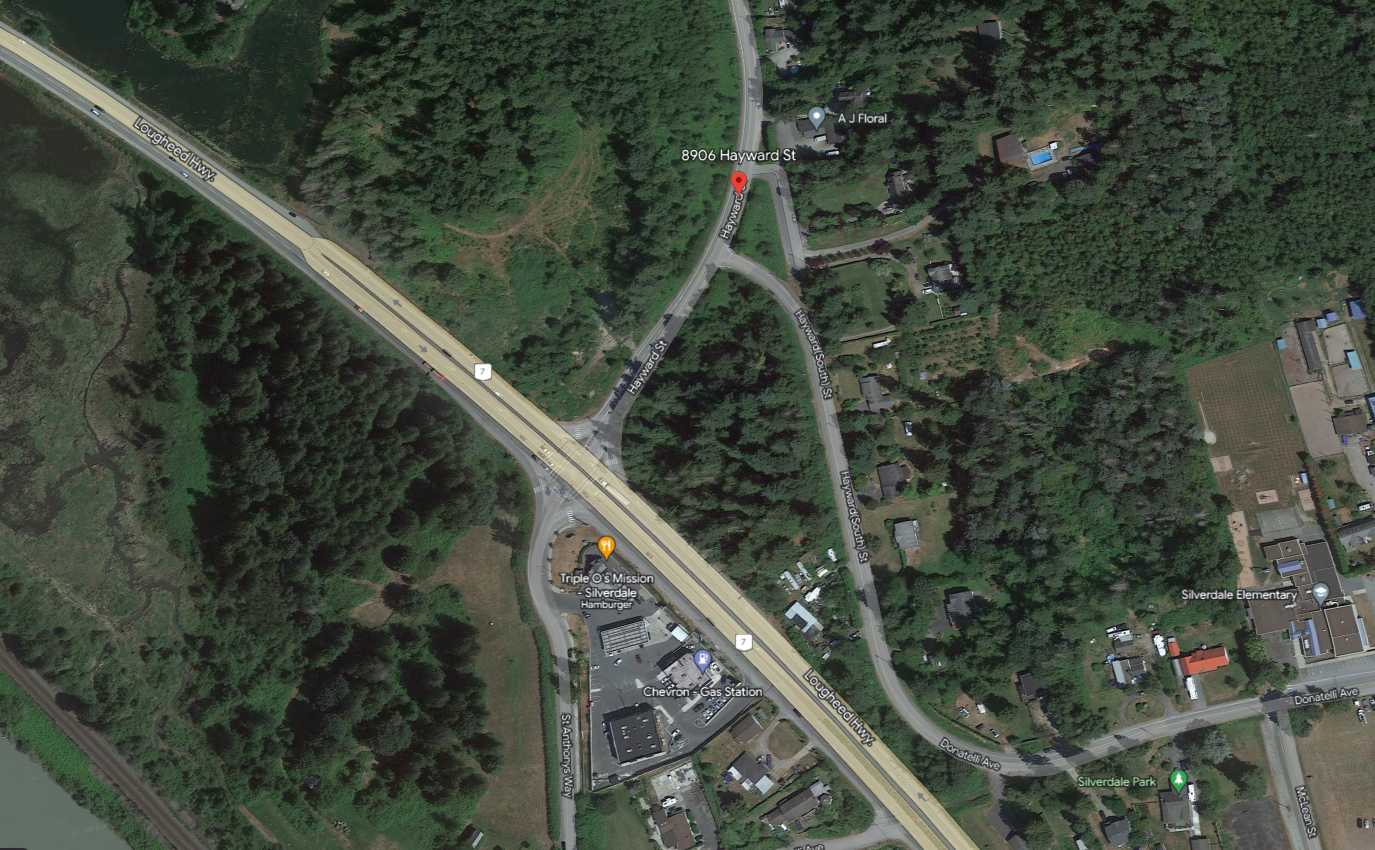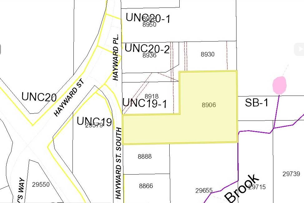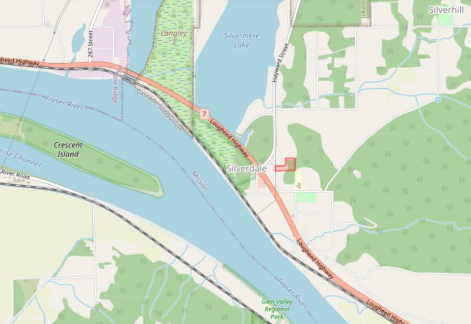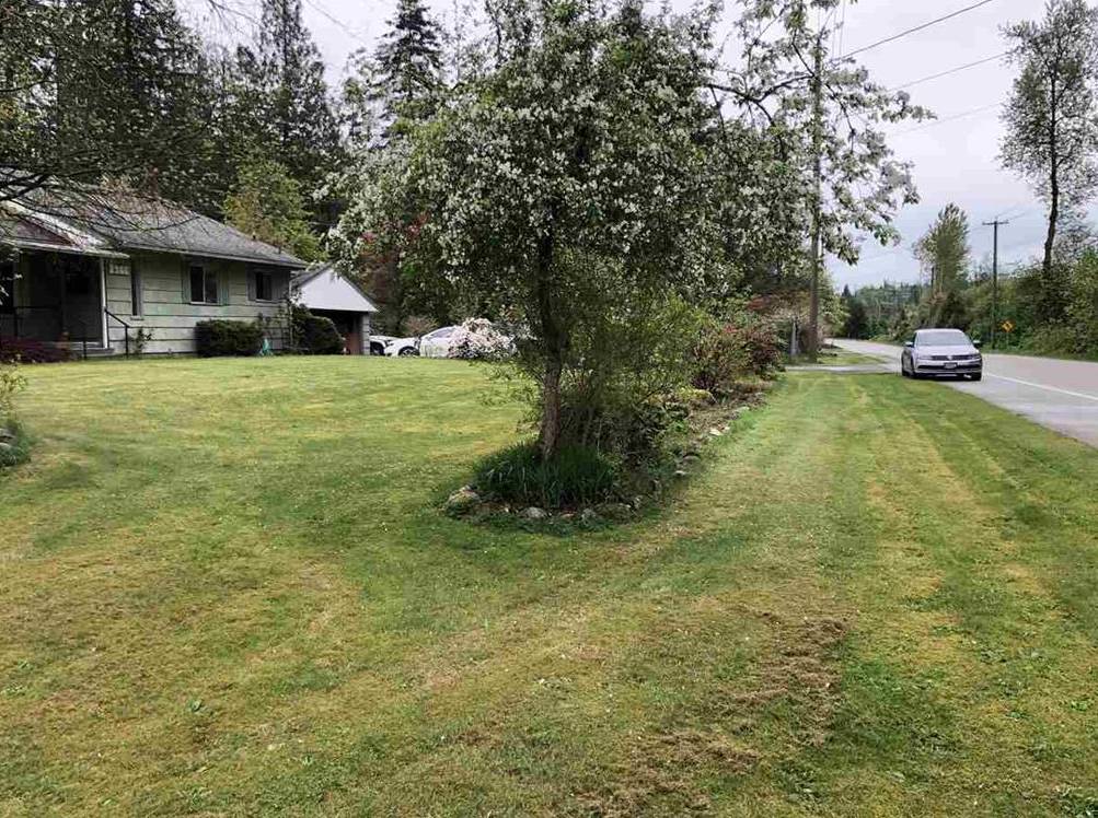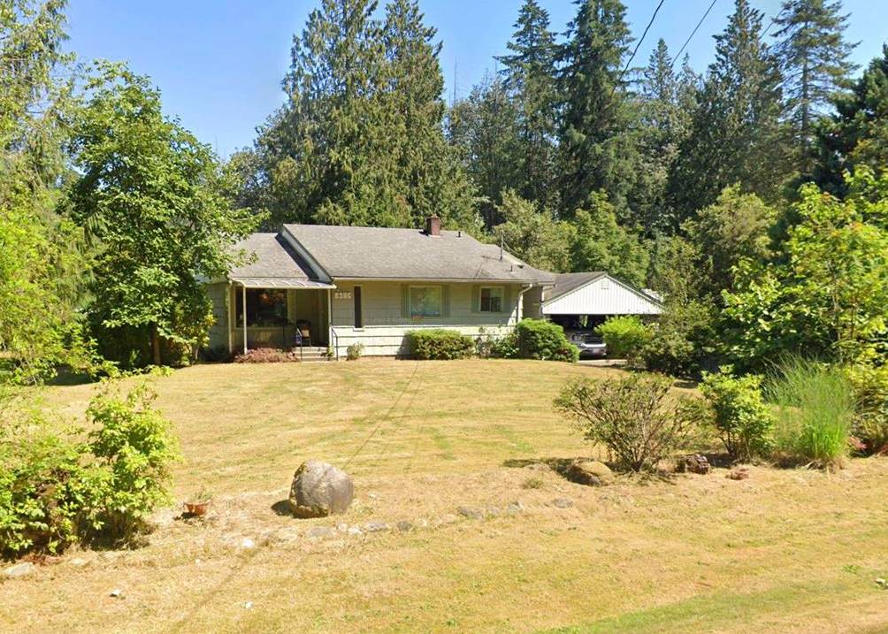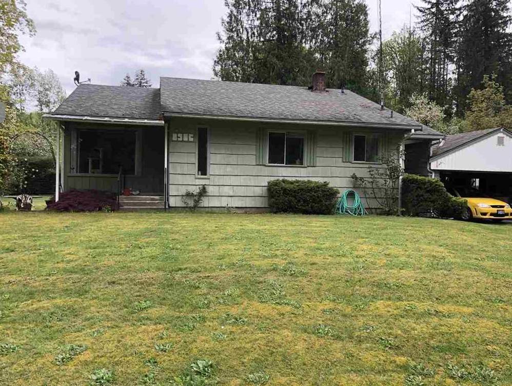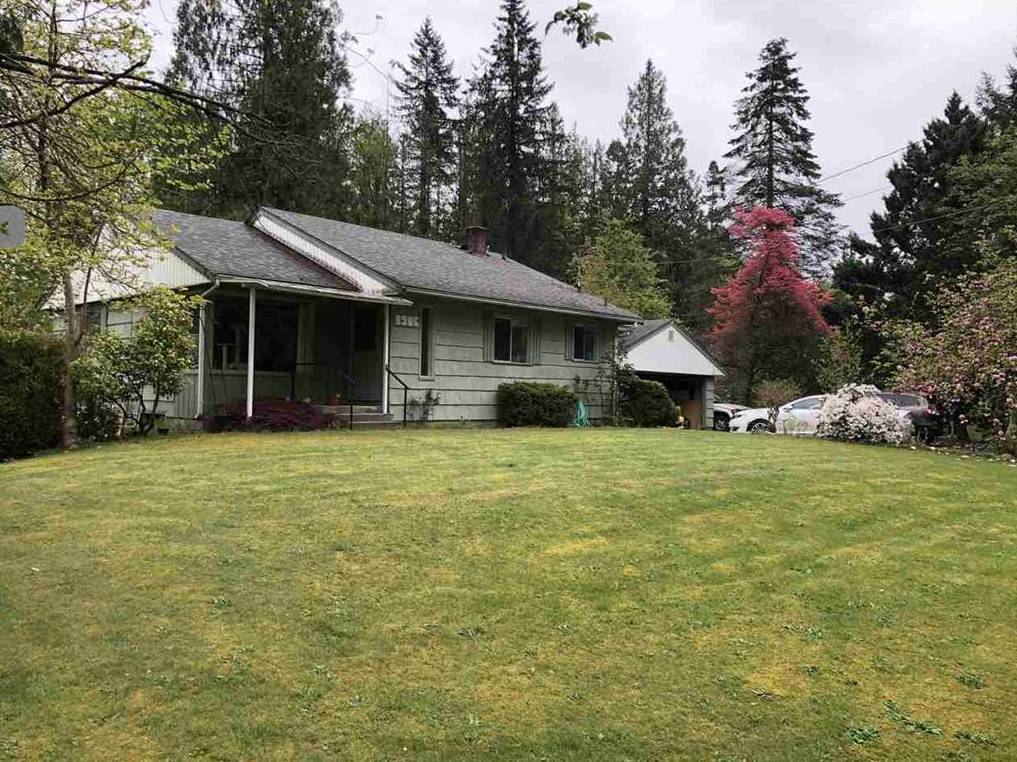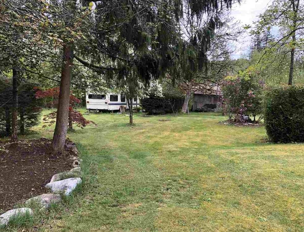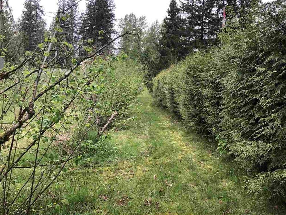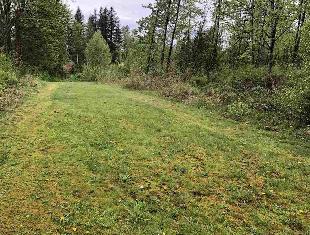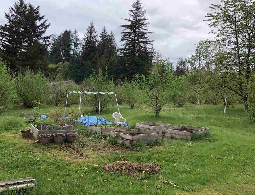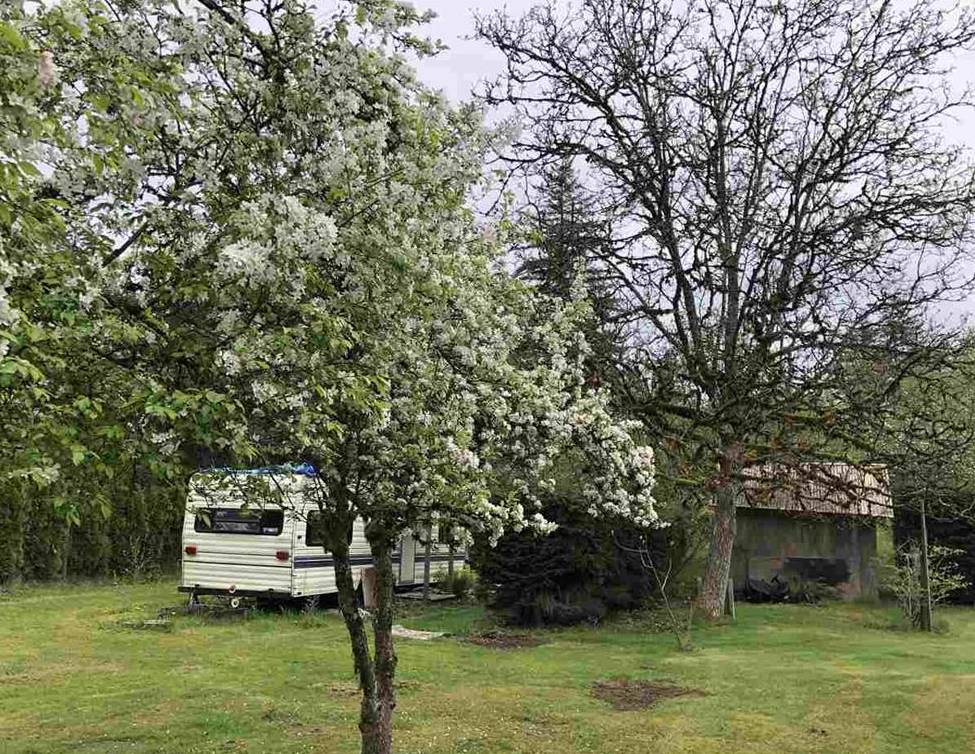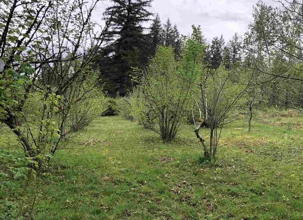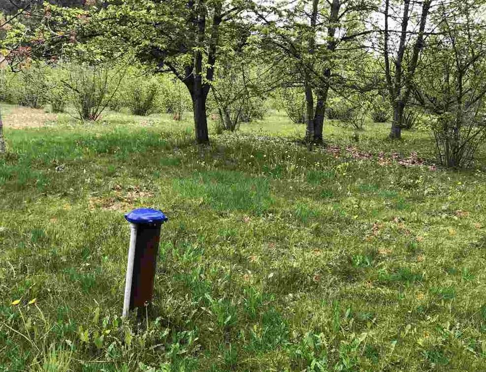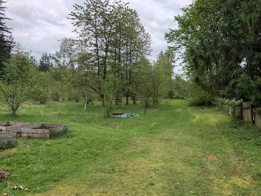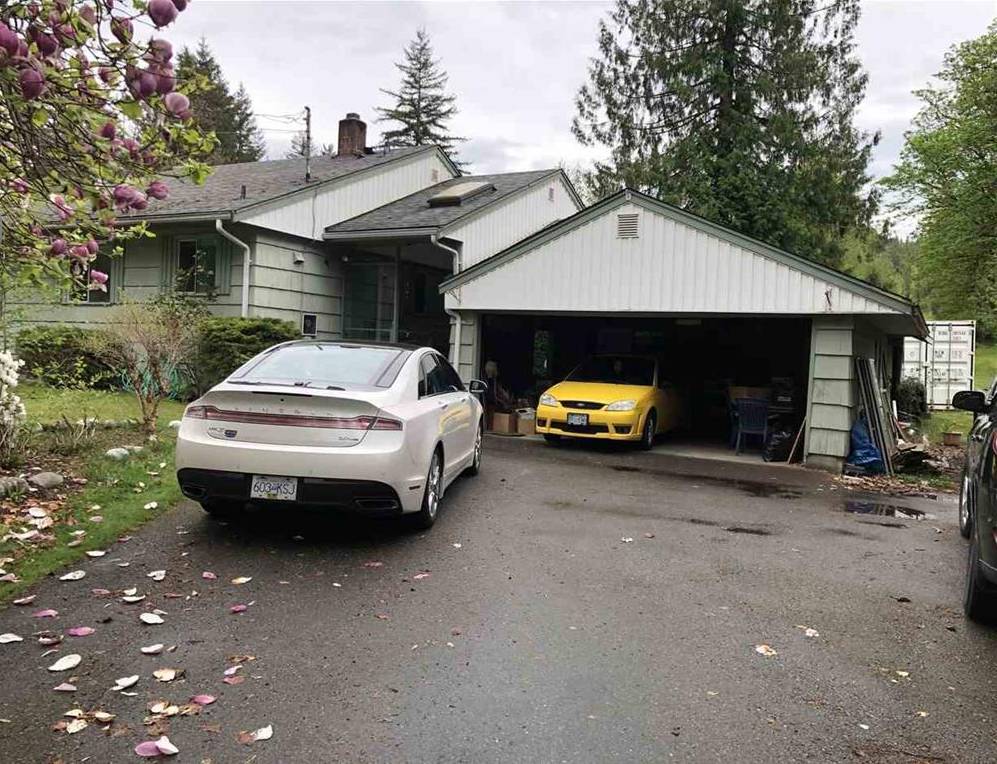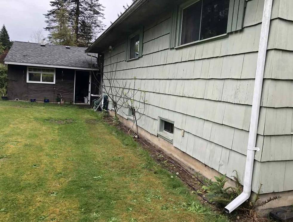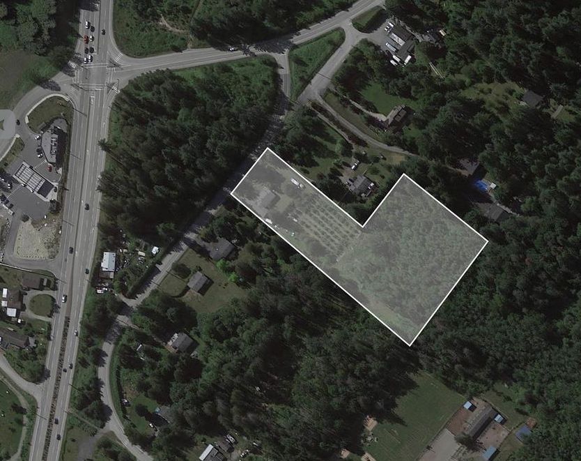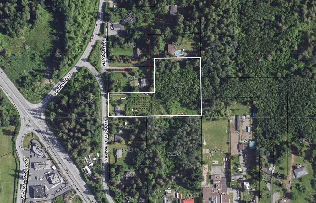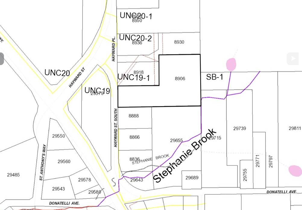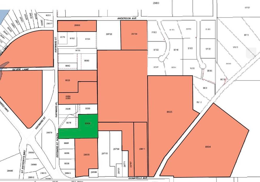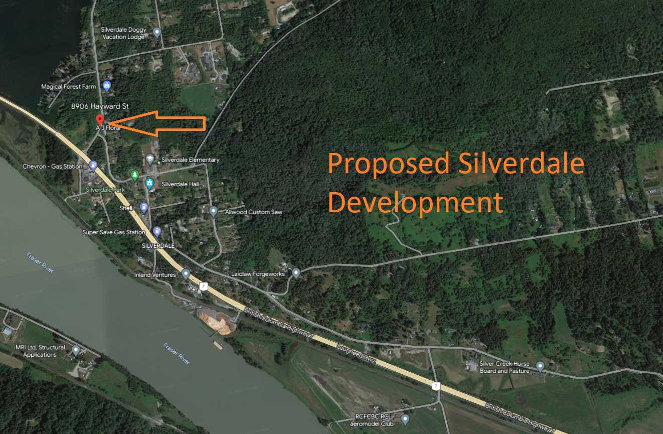
8906 Hayward Street, V4S 1H8, Mission West, RU-16 zoning, future development site in Silverdale West! 4.1 acres of gently sloped land with incredible future lake views. Zoning will allow for approx. eighty 2000 sf Townhouses (15-20 units per acre). Silverdale's Central Neighbourhood was approved in August 2022, with trunk infrastructure estimated to be completed by 2027, allowing the possibility for the West Neighbourhood to develop if land use planning is completed. As per the Master Infrastructure Strategy completed by Polygon and Ekistics in 2019, the West Neighbourhood will be the Gateway to Mission and feature some of Mission's highest densities. Great holding property as you wait for the development to proceed along with other multiple investors and developers that are already in the area. Very solid older home on 4 beautiful acres in the heart of Silverdale. The home is very tastefully decorated. Double carport. Half of the property is clear. This is a choice acreage.
Info Sheet
https://www.dropbox.com/scl/fi/fp4huhwsje34lpkw4evl6/8906-Hayward-Info-Sheet-UD08-19-23.pdf?rlkey=3zd8vvfu4ceq2ya12z7lnepne&dl=0
Silverdale Comprehensive Planning Area – City of Mission (COM)
https://www.mission.ca/city-hall/departments/development-services/planning-department/major-development-projects/mis/
Central Neighbourhood plan
https://engage.mission.ca/cnp
Central Neighbourhood-Nault Version
https://silverdale.ca/central-neighbourhood/
feature sheet Pics
https://www.dropbox.com/scl/fo/6cst9oral8m54spl5ugt0/h?rlkey=8qffjl0hxdquzazfhnbeq8f22&dl=0
https://www.dropbox.com/scl/fo/7r4fv9eqnvvrhp2ei38dt/h?rlkey=hiwvxmzx2ou0nc3kvct2xriqd&dl=0
Streetview
https://www.google.ca/maps/@49.1654508,-122.4044562,3a,75y,24.95h,90t/data=!3m6!1e1!3m4!1sq9QfDiropucMXtGiqRb0YA!2e0!7i16384!8i8192?entry=ttu
Google Maps
https://www.google.ca/maps/place/8906+Hayward+St,+Mission,+BC+V4S+1H8/@49.1654647,-122.4044511,17z/data=!3m1!4b1!4m5!3m4!1s0x5484325bff1890d5:0xa3ca5e3c69a5b03c!8m2!3d49.1654647!4d-122.4044511?entry=ttu
Google Earth
https://earth.google.com/web/search/8906+Hayward+mission+Bc/@49.16435983,-122.40424076,30.14764389a,773.92289574d,35y,11.22589581h,17.06529156t,0r/data=CoIBGlgSUgolMHg1NDg0MzI1YmZmMTg5MGQ1OjB4YTNjYTVlM2M2OWE1YjAzYxk8koHyLZVIQCEy1d2G4plewCoXODkwNiBIYXl3YXJkIG1pc3Npb24gQmMYASABIiYKJAkr8VHy1nxMQBF9og_vfxQSQBnkujr46DNNQCEjI5woBkBgwA
Data Room Folder
https://www.dropbox.com/scl/fo/xl0lbggb3oippgvghecfg/h?rlkey=u4blfbnoazqtl3xfrsl537f63&dl=0
General Info
MLS® #
N/A
Taxes
-
Maintenance Fees
-
Property Type
House with Acreage
Dwelling Type
-
Home Style
-
Year Built
-
Fin. Floor Areas
178596 sqft
Bedrooms
Bathrooms
0
View
-
Complex Name
-
Concierge #
-
Bldg #
-
Lot Size
178596 sqft
Listed by Century 21 Coastal Realty

MLS® Disclaimer for BC: This representation is based in whole or in part on data generated by the Chilliwack & District Real Estate Board, Fraser Valley Real Estate Board or Real Estate Board of Greater Vancouver which assumes no responsibility for its accuracy.
Maps (Google, Google Street View, Bing Areal View, Area Condos, Walk Score)
Disclaimer: E/O - These images may not be copied, distributed, altered or used in any manner not provided for herein without purchasing a license or obtaining written permission from vancouverfloorplans.com or the copyright owner. You may not publish or use an image from this site without purchasing a monthly license or purchasing an individual floor plan from vancouverfloorplans.com. This includes but is not limited to; free sites, personal sites, and not-for-profit sites. Once purchased, you may use one image at a time for personal promotions IE: for rental of a unit or for a sale of one unit. You may not download all the Floorplans & Floor plates & post them on the internet - this material is copyrighted. All information including floor plans, floor plates, suite square footages, floor areas, maps & suite numbers are gathered from different sources and are believed to be as accurate as possible but are not guaranteed. Neither the Webmaster nor vancouverfloorplans.com are liable for any errors or omissions in this info sheet. All floor plans are a representation of the actual floor plans that came from the Developers Brochures and/or the Developers Disclosure Statement. All developers' original materials were subject to change without notice. If it is important to have the actual square footage & actual location of any suite, please verify with the attached registered strata plan. The onus is on the reader of this material to verify the accuracy of the content.